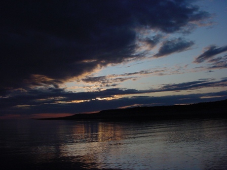
 My GPS position at 1211 on July 22, 2009 was Lat. 50⁰ 22’ 34’’N ~ Long. 059⁰ 09’ 51”W (remember to retard the longitude for my course and speed at the time of noon 090T @ 5kts
I hope at lease a few of you had fun with the numbers. I’m sure it was Greek to most but thanks for letting me have some fun. I’ve always enjoyed celistual navigation but wouldn’t want to be relying on it solely on this trip. Yes chart plotters and GPS and AIS and radar and caluclators have all made a mental weakling out of me, but I still like to take the sextant out for a spin.
To those who have sent e-mail asking questions about the trip, I’m sorry I can’t respond directly so here are some questions and my answer.
Barb asks: Will the radar pickup icebergs?
Yes, if they are large. Small burgybits will most likely not show up. I’ll hove to at night in ice areas rather than risk an out and out collision.
Roger asks: What do I do about replenishing food onboard?
I have a well stocked pantry of canned goods, soups, sardines, chili, etc. I have lots of crackers, peanut butter, beef jerky, dried fruit and vitamins. When I can and as long as I can I buy my food from local stores. People have been so wonderful to give me rides.
To find your latitude at noon from the sun, take the height observed subtract it from 90⁰ then subtract the declination of the sun at the moment it reached its highest arc in the sky and subtract it if it is a north declination or add it if it is a south declination. By determining when local apparent noon occurred, then the longitude becomes the GHA (Greenwich Hour Angle) of the sun corrected for minutes and seconds. These numbers and the corrections for the height of eye, refraction, upper or lower limb shot, etc., are found in the Nautical Almanac.

Tommy! Thankyou for the noon sight equation! I realised I didn’t bring my celestial book on the boat… and I am a LONG way from memorizing it :0) Now I get to go back to my pitching, pitching, rolling, heaving rack and have some fun!
Goodnight, and holdfast shipmate!
kari