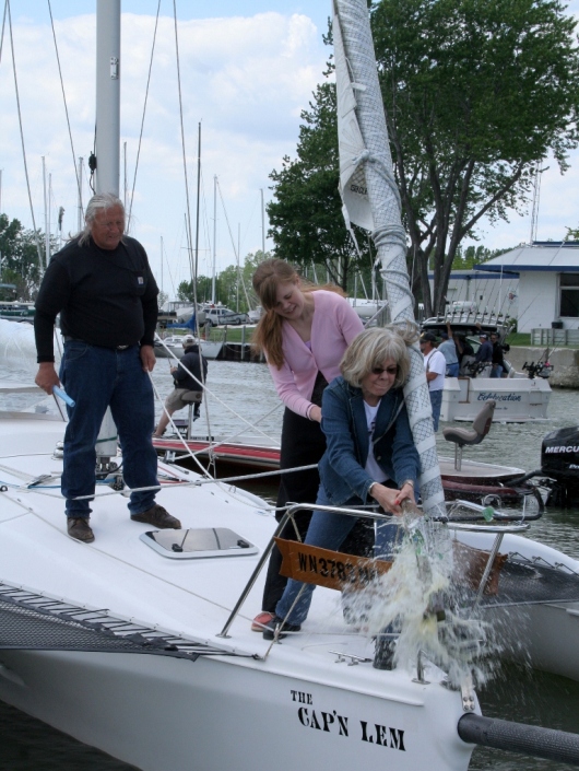
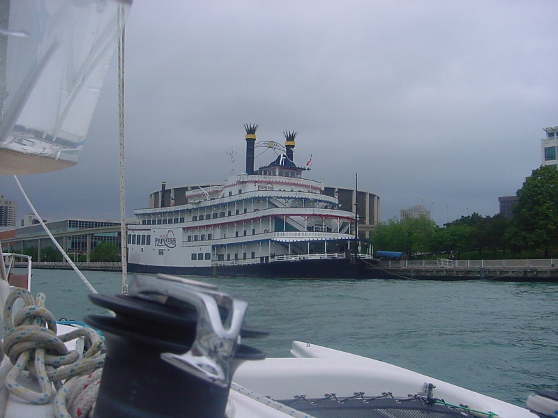
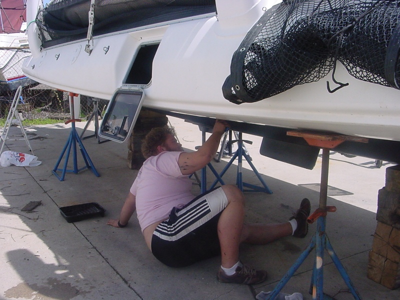
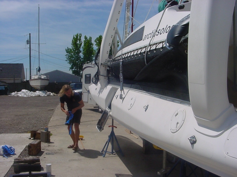
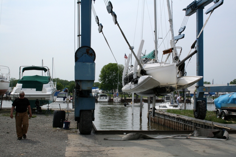
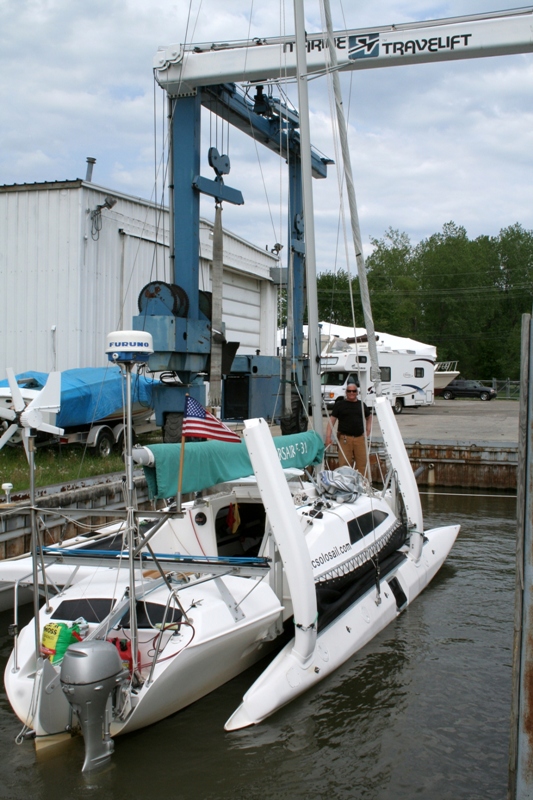
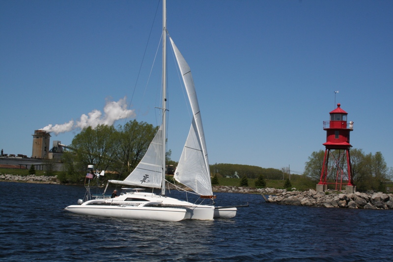
The CAP’N LEM is docked in Buffalo New York making preparations to transit the Welland Canal on Thursday June 11th 2009.
After leaving Rocky River, THE CAP beats to windward on the now familiar short tack long tacks required to make progress against the Northeast winds. A shift in wind directions that accompanies the setting of the sun helps gain the last few miles to Presque Island. Night navigation gets hampered by the numerous lights on shore near a big city like Erie PA. I check the chart, the radar, GPS, the horizon looking for anything that moves, anything that flashes, anything that stands out of the ordinary, then again chart, radar, GPS, horizon over and over until I’m well in the channel. I don’t worry about grounding so much as hitting something unlighted. I jump at shadows.
It’s rare to see another boat out this late, but one lone motorboat overtakes me to port well outside the channel and proceeds me into the harbor. He knows the waters and cuts buoys and corners and is soon out of sight. I don’t let myself indulge in such for fear it might become a habit, a bad habit. I shine a light on the unlighted buoys, I confirm my position and I slow down. Like my father before me, I am a “night watchman” and I let that weight of responsibility hang heavy on my shoulders. I talk to myself and I listen to what I say, “This mile, tommy, this mile is the important one, the one right in front of you!”.
At the end of the seawall and before the next buoy, a hard right turn, 90° into a very shallow bay named Misery. The fathometer rises to 4’ below the hull; I raise the dagger board and loosen the rudder just in case I find the bottom. No, down again to 8’ and I’m home for the night at Lat. 42° 09’ 29.3” N ~Lon. 080° 05’ 14.5”W having traveled 1491 nautical miles from Two Harbors MN. At first light, I’m up and out the hatch to see the bay called Misery and marvel that such a place could bare such a named. One thing I’ve learned in my travels is there is no accounting for the names some places are given. Perhaps the local history would explain it but to me a quiet anchorage like this in a beautiful boat surrounded by ducks and geese, and people in canoes on a clear Saturday morning is the stuff of dreams that could bring misery to no one.
I get an excited call from Tiny, “Did I see it!” “No, what?” “The NIAGARA, The Brig just left the harbor, full sail.” A picture of a tall ship from the CAP’N LEM is a must. Daylight changes things and coupled with the close scrutiny of the chart the night before I’m out of the harbor in pursuit. I watch as off in the distance the Brig NIAGARA tacks, the sailors on board running to man braces, then hauling to bring the yards around at just the right moment to catch the wind on the other tack before all momentum is lost. The grace and beauty of a tall ship well handled is a thing to see. It makes me glad to be a sailor.
The wind is right for my run to Buffalo, and just strong enough to keep me excited and watchful. I leave the NIAGARA and Presque Island behind in the haze very quickly and sail 75 miles before coming to anchor just inside the west breakwater of Buffalo Harbor at Lat. 42° 52’ 28.2” N ~ Long. 078° 54’ 09.4” W having traveled 1566 NM to date.
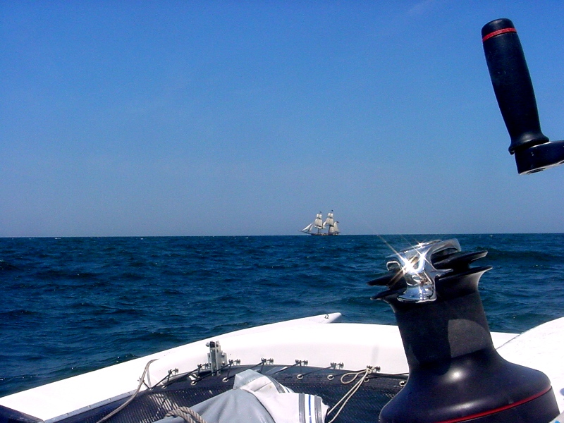
THE BRIG NIAGARA
